Why it's trending
The sudden interest in 'weather warning' is driven by the issuance of severe thunderstorm and tornado warnings for multiple areas in Alberta on Tuesday, following a summer of record rainfall. The heightened threat of tornadoes, coupled with ongoing flood risks in Edmonton, has prompted widespread attention and caution.
A significant severe weather event is unfolding in Alberta on Tuesday, with the potential for tornadoes, damaging winds, and large hail. The Weather Network reports that a strong jet stream and surface low will create a textbook pattern for severe storms, particularly in central Alberta. Record-breaking rainfall has left the ground saturated, increasing the risk of flooding and providing ample moisture for tornado development.
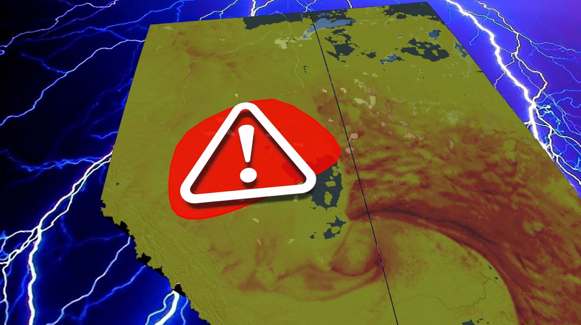
The threat includes damaging wind gusts, heavy downpours, and very large hail (4-6 cm). A couple of tornadoes are increasingly possible in the red risk area as dynamics and low-level moisture support their development through early Tuesday evening. The storms are expected to begin in the afternoon along the northern foothills and intensify as they move northeast, persisting overnight with squall line features.
Edmonton, which has seen its wettest summer on record, remains highly susceptible to flooding due to waterlogged ground. CityNews Edmonton reported severe thunderstorm warnings and power outages in parts of the city. CTV News also issued a tornado warning for a county west of Edmonton, underscoring the immediate danger.
Residents are advised to stay updated with the latest watches and warnings and take immediate action if a severe thunderstorm or tornado warning is issued for their location. The stormy pattern remains locked in, with additional rounds of severe weather possible in the coming days. Authorities urge caution, especially in flood-prone areas.
Timeline
- Record-breaking rainfall in central Alberta
Edmonton experiences its wettest summer on record, leading to saturated ground and heightened flood risk. (Source: The Weather Network)
- Severe weather outbreak expected
A strong jet stream and surface low trigger severe thunderstorms with tornado risk, damaging winds (110+ km/h), very large hail (4-6 cm), and heavy rain. Storms begin near Grande Prairie and Edson, moving northeast. (Source: The Weather Network)
- Warnings issued for Edmonton area
Severe thunderstorm warning and power outages reported in Edmonton. Tornado warning issued for a county west of Edmonton. (Sources: CityNews Edmonton, CTV News)
Questions people ask
What is the difference between a tornado watch and a tornado warning?
A tornado watch means conditions are favorable for tornadoes, while a warning means a tornado has been sighted or indicated by radar. The Weather Network advises taking immediate action if a warning is issued.
Why is Alberta at such high risk for tornadoes today?
Record-breaking rainfall has provided ample moisture, and a strong jet stream creates a textbook pattern for severe storms. Dynamics and low-level moisture support tornado development. (Source: The Weather Network)
What areas are most at risk?
Central Alberta, including Edmonton, Grande Prairie, Edson, Slave Lake, Fort McMurray, and Cold Lake. The red risk area has the highest tornado potential. (Source: The Weather Network)
Join the conversation 0
Comments are reviewed before publishing.